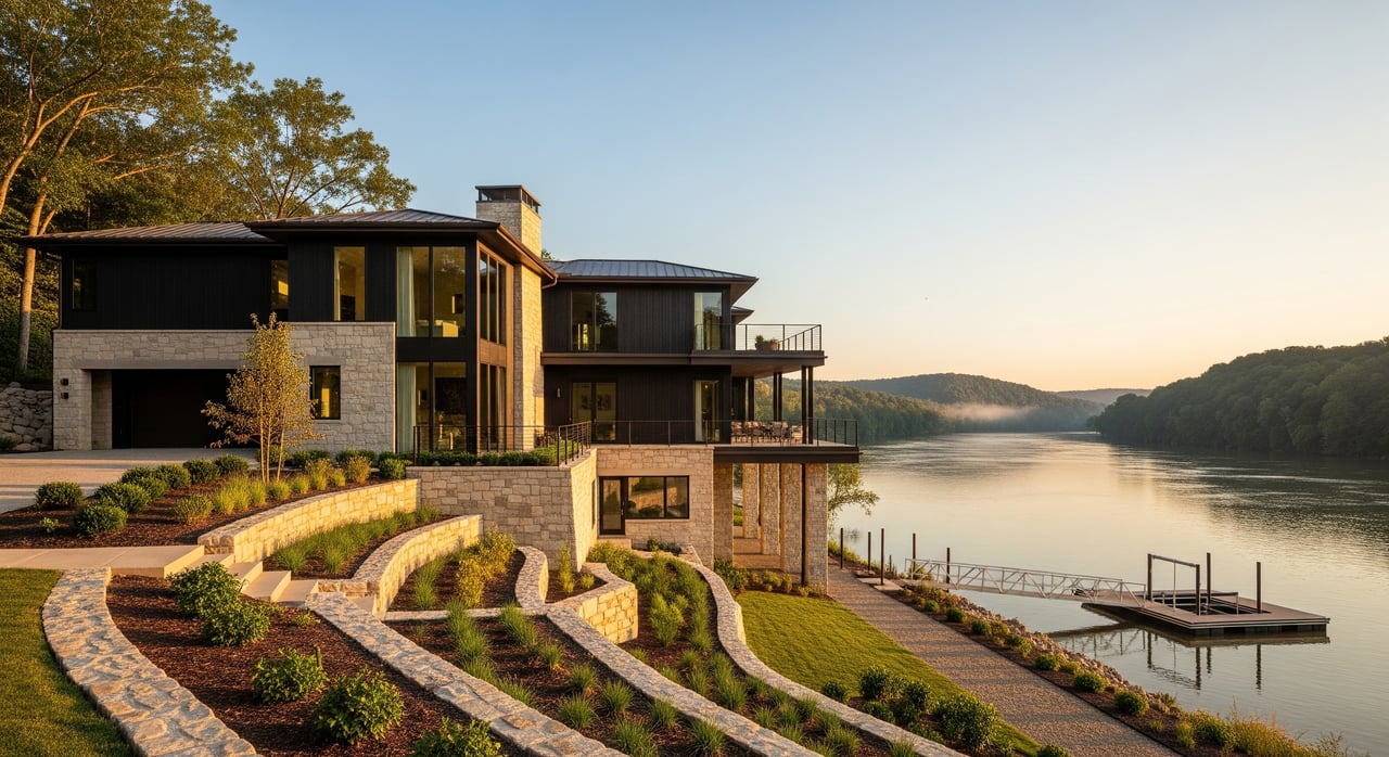
Love living by the water but worried about surprise high water around Chickamauga Lake? If you own or plan to buy a river‑area home in Birchwood, it is smart to understand both reservoir‑related rises and quick, heavy‑rain flooding. You want peace of mind, clear steps, and local contacts you can trust. This guide walks you through how to check your property’s status, insure wisely, and protect your home so you can enjoy the river with confidence. Let’s dive in.
Why Birchwood river areas face unique risk
Reservoir and creek dynamics
Birchwood sits near Chickamauga Lake, part of the Tennessee River system. The Tennessee Valley Authority manages reservoir levels and releases, which can change lake elevations and currents quickly after storms. Waterfront and embayment homes should monitor TVA guidance on how it manages water levels and releases for flood control, power, and navigation (How TVA manages water levels).
Two flood pathways to plan for
You face two main risks. First, river or lake inundation tied to TVA operations during major inflow events. Second, short‑duration, heavy‑rain flooding when local creeks, ditches, or culverts are overwhelmed. Heavy precipitation events have increased in parts of the U.S., which can raise flash‑flood potential even outside mapped high‑risk areas (climate context on heavy events).
How to check your property’s flood status
Start with official FEMA maps
Use FEMA’s Flood Map Service Center to look up your address, view the effective Flood Insurance Rate Map, and see if any Letters of Map Change apply. If your structure is in a Special Flood Hazard Area, a lender will typically require flood insurance for federally backed mortgages (FEMA Flood Map Service Center FAQs).
Elevation Certificates and map changes
If your home or lot sits above the Base Flood Elevation, you may be able to request a Letter of Map Amendment or Revision. This usually requires an Elevation Certificate or engineering documentation. FEMA’s Online LOMC guidance explains documents and timelines (FEMA LOMC guidance).
Local permitting in Birchwood
For unincorporated Birchwood in Hamilton County, contact Building & Zoning for permits, floodplain rules, and Elevation Certificate questions. The county Stormwater team oversees stormwater reviews and floodplain management for unincorporated areas. Check requirements before building, adding on, or placing fill (Hamilton County Building Inspection, Hamilton County Stormwater).
Insurance and financial checkpoints
Even if your lender does not require it, flood insurance is the primary way to transfer flood risk. Properties in a 1 percent annual chance flood zone carry about a 26 percent chance of flooding during a 30‑year mortgage, though site elevation and topography affect actual risk (FEMA insurance glossary). Compare National Flood Insurance Program policies with private options, including structure and contents coverage.
- Buyer checklist:
- Pull the FEMA map for the address and ask for any Elevation Certificate and Letters of Map Change.
- Request seller flood insurance history and any past claims for the parcel.
- Get quotes from NFIP and private carriers, and note typical 30‑day waiting periods for new NFIP policies.
- If closing soon, verify current NFIP program status because federal program timing can affect new policies (news on NFIP timing).
Practical steps to protect your home
Immediate actions this season
- Monitor local warnings from the National Weather Service, especially during heavy rain or rising river conditions (NWS Morristown office).
- Keep an eye on TVA water level guidance and post‑storm releases for Chickamauga Lake (TVA water level operations).
- Check your FEMA flood zone and note any recent map changes for your parcel (FEMA MSC FAQs).
- Buy flood insurance early if risk is present; do not wait for a storm or closing date (FEMA insurance glossary).
Property‑level upgrades
- Elevate critical utilities and appliances, and secure fuel tanks. Where appropriate, consider engineered flood vents and water‑resistant materials below the design flood elevation (Flood‑resistant building guidance).
- Install and test a backflow valve and a sump pump with battery backup. Check them before storm season (Hamilton County Stormwater).
- Maintain drainage. Keep ditches, driveway culverts, and drains clear, and coordinate with the county if public culverts are blocked. Use grading and landscaping to direct runoff away from the foundation (Hamilton County Stormwater).
When to call the pros
- Hire a licensed surveyor for an Elevation Certificate or to support LOMA/LOMR submissions (FEMA LOMC guidance).
- For structural mitigation or drainage redesign, consult a civil or hydraulic engineer and confirm permits with Hamilton County before work begins (Hamilton County Building Inspection).
Local resources at a glance
- FEMA Flood Map Service Center: official maps and zones (FEMA MSC FAQs)
- Hamilton County Building Inspection: permits and elevation requirements (Hamilton County Building Inspection)
- Hamilton County Stormwater: stormwater reviews and floodplain management (Hamilton County Stormwater)
- TVA water level operations for Chickamauga Lake (TVA water level operations)
- National Weather Service local office for watches and warnings (NWS Morristown office)
Work with a local guide
You deserve a calm, clear plan when buying or selling near the water. If you want help reading FEMA maps, coordinating local contacts, or weighing flood considerations during a Birchwood home search, reach out. You will get a pressure‑free, hospitality‑driven experience with strong negotiation support and timely communication. Connect with Michael Schober to start the conversation.
FAQs
How do I check if a Birchwood address is in a flood zone?
- Use FEMA’s Flood Map Service Center to search by address, then confirm details or recent map changes with Hamilton County Building & Zoning or Stormwater (FEMA MSC FAQs).
Does TVA control flooding near Chickamauga Lake homes?
- TVA manages reservoir levels and releases for flood control and other objectives, which can affect lake and embayment levels during major inflow events; local rainfall and runoff also matter (How TVA manages water levels).
Can I remove my Birchwood property from the FEMA flood map?
- Possibly, if a survey shows your lot or structure is above the Base Flood Elevation; apply for a LOMA or LOMR with supporting documentation (FEMA LOMC guidance).
Do I need flood insurance if I am outside the Special Flood Hazard Area?
- Lenders typically do not require it outside SFHAs, but many flood losses occur outside mapped high‑risk zones; consider purchasing coverage and note typical 30‑day waiting periods for NFIP policies (FEMA insurance glossary).
Who enforces building elevation rules in unincorporated Birchwood?
- Hamilton County Building & Zoning and the county Stormwater team handle permits and floodplain rules for unincorporated areas; contact them before construction or improvements (Hamilton County Building Inspection).